
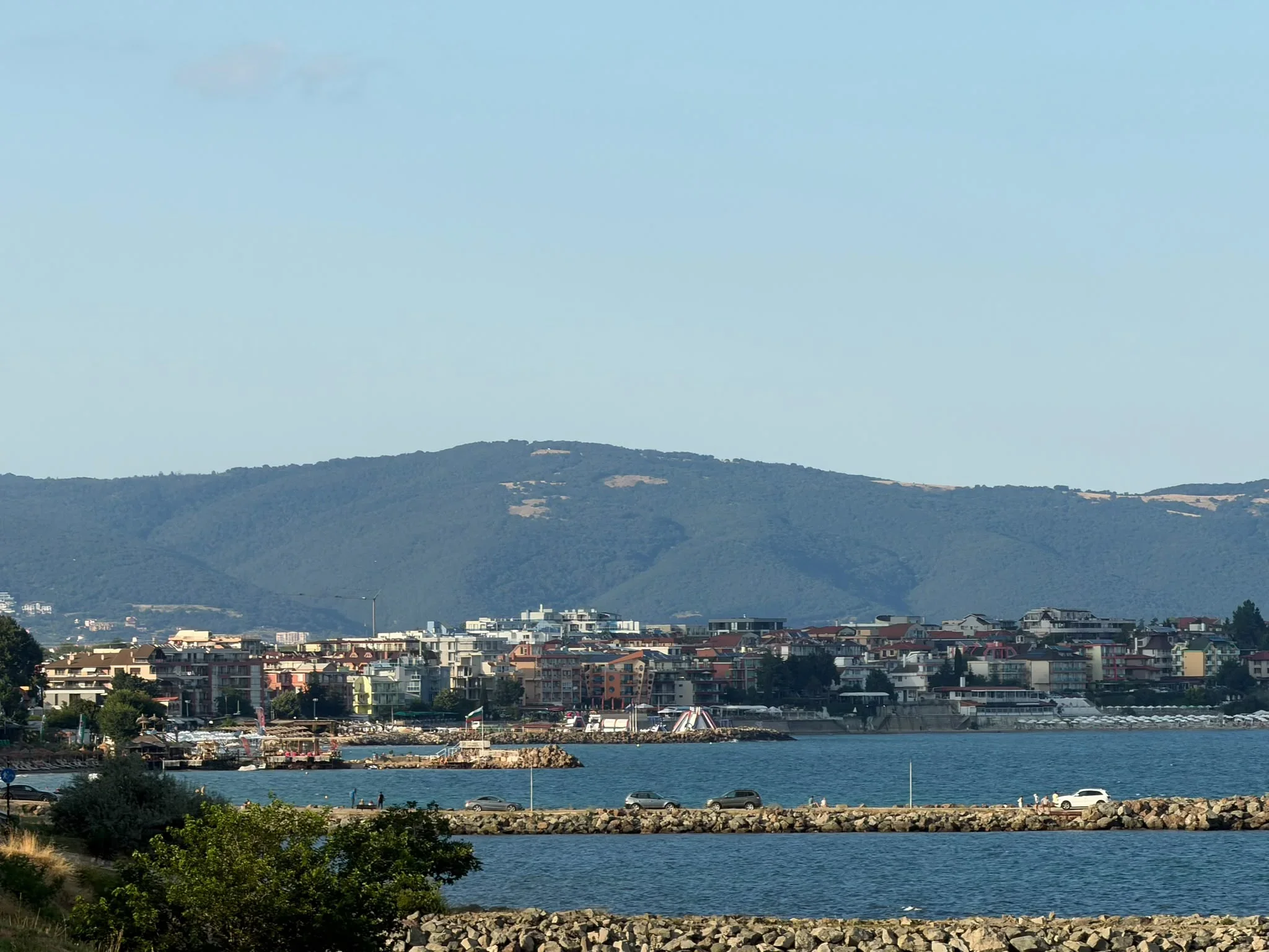
Digital map of water bases makes it easier for tourists at the seaside
The Ministry of Transport and Communications (MTC) has taken an important step towards the digitalization of maritime services by upgrading the register of water bases with a new interactive map. It visualizes all sites along the Bulgarian Black Sea coast in real time.
The tool provides quick access to information for tourists, citizens, and business representatives.
What data does the new platform offer?
When selecting a specific site on the map, users see an information window with details about:
- Name and type of the site;
- Exact location;
- Technical characteristics according to its purpose.
What can you find with the help of the map?
The functionality allows for easy finding of various services along the coast, including:
- Zones for renting jet skis and water sleds;
- Parasailing and pedal boats;
- Specialized surf schools (especially in the regions of Burgas and Varna).
In addition, the map clearly shows the beaches where no watercraft rental is offered, which provides extra convenience when planning a vacation. The initiative aims to promote opportunities for sports and recreation along the Bulgarian coast for the 2026 summer season.

Коментари (4)
Хм... добре е, че се опитват да улеснят хората. Но толкова време
Абе тва с 2026-а пак ли е... Не може ли нещо да стане по-бързо? Ама като гледам, картата ще е интерактивна -
Ей, пиша бързо! 😂 Добре е, че правят нещо за водните спортове, наистина. Честно казано, 2026-а ми се струва много време за карта, ама хайде да видим какво ще измислят. Важното е да не стане като повечето държавни проекти – обещания на празни приказки и после нищо. Надявам се поне да има опция за офлайн достъп,
Абе, пиша от телефона, извинявайте за грешките… 🤦♂️ Ей, хубаво нщо, ама 2026-та? Сериозно ли? Дано не ни заблуждават пак с тия срокове... Аз лично се надявам 😡