
Seasonal simulations for winter 2026–27 give no clear signal of prolonged hard cold over the Balkans and the eastern Mediterranean, even if the polar vortex breaks down early. That is the finding of forecasters at Meteo Balkans.
In December, the cold is more likely to stay in Scandinavia and north-eastern Europe. For March 2027, one of the two systems compared shows a warmer month for Greece and the Aegean Sea.
The analysis looks at what would happen if the polar vortex weakens or collapses early in winter. The vortex is a ring of strong winds high in the atmosphere that holds cold air around the Arctic. When it weakens, the usual flow of air over the Northern Hemisphere can change, blocking patterns become more common and cold air pushes into some regions.
The gap between the scenarios is clearest in December, when the two sets of simulations agree best. If the vortex breaks down early, Scandinavia and parts of north-eastern Europe are 1 to 2 degrees colder than in scenarios without a breakdown.
In Greece, the December differences range from neutral to slightly positive, about 0 to +0.5 degrees. There, a vortex breakdown barely changes the temperature.
Meteo Balkans says air pressure in December is higher in the north and lower over parts of the Atlantic, so cold air would reach northern and eastern Europe more easily. But an early vortex breakdown does not automatically bring a strong cold wave to the eastern Mediterranean.
The maps show only the difference between simulations with and without an early vortex breakdown, not expected temperatures. A colder colour on them therefore does not necessarily mean a cold winter. The forecasters give an example: a month that is 3 degrees above normal anyway would still be 2 degrees above normal after 1 degree of cooling from a vortex breakdown.
By January 2027, the results of the two sets differ. In CMIP6, the initial signal weakens or changes. In SEAS5, signs of lower temperatures remain in parts of the central United States and north-eastern Europe. January values for Greece and the eastern Mediterranean are mostly neutral.
For now, the forecasters see no convincing signal of a long spell of clearly below-normal temperatures in this part of Europe. An average monthly temperature does not rule out short cold snaps: even in a warmer month, there can be several days of very low temperatures and snow.
The models also differ for February. CMIP6 shows a slightly positive difference for Greece, while SEAS5 shows a mostly neutral month.
The March signal is the most interesting. SEAS5 data show Greece and the Aegean Sea 1 to 2 degrees above normal. Meteo Balkans says this may be due to warm air moving more often into the eastern Mediterranean in early spring. But March is far off and the uncertainty is large.
The forecasters say that for Bulgaria, the way air masses move over Europe matters more than whether winter is warmer or colder than normal. Even when average temperatures are close to normal, short but sharp cold snaps are possible.
Heavy snow in the Balkans needs cold air, enough moisture and cyclones in the right place. The path of the cold will depend on blocking anticyclones over northern and north-eastern Europe and how they link with Mediterranean cyclones. That decides whether the cold reaches central and south-eastern Europe, or stays to the north and east.
The two sets of calculations are CMIP6 and SEAS5, the seasonal system of the European Centre for Medium-Range Weather Forecasts (ECMWF). For SEAS5, the forecasters used seasonal hindcasts, meaning calculations for seasons that have already passed.
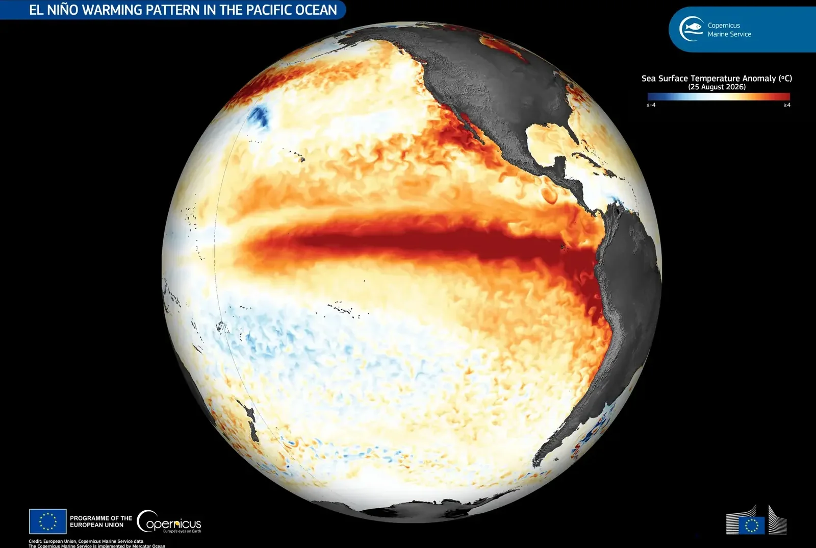
The aim is to isolate the effect of the stratosphere. Starting conditions in the ocean and tropics are similar: a strong El Niño and the negative, westerly phase of the quasi-biennial oscillation (QBO), which is a switching of wind direction over the equator.
CMIP6 includes 80 climate runs, with 32 cases of early vortex breakdown and 565 without it. In SEAS5, 109 runs have an early breakdown and 444 do not.
In the strongest cases, known as sudden stratospheric warming, the temperature in the polar stratosphere jumps within a few days. Zonal winds there reverse direction around 60° north, at the 10 hPa level. The vortex can weaken, shift or split into smaller vortices.
Sometimes the change moves down into the layer where weather forms, and shifts the main areas of high and low pressure and the path of the polar jet stream. That can send Arctic or continental air into Europe. But not every such warming brings a cold winter: the result depends on the phase of the North Atlantic Oscillation (NAO), on blocking anticyclones and on the overall circulation over the continent.




Comments (0)
No comments yet.