
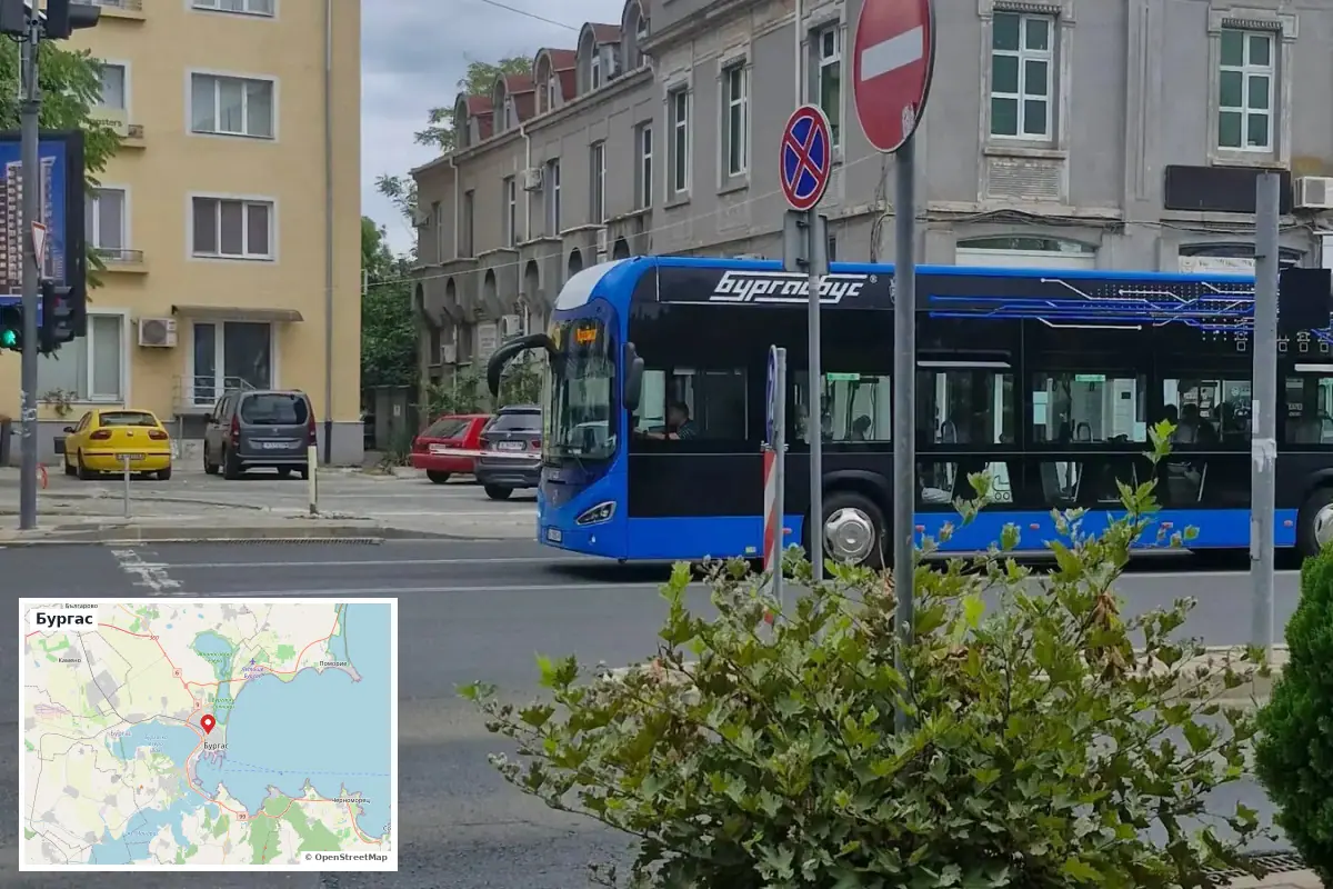
Within a matter of weeks, the world's most popular navigation platform, Google Maps, is expected to complete the final verification of public transport data for Burgas. The technical synchronization of urban routes, stops, and real-time vehicle tracking is already in an advanced stage, which will significantly facilitate both local residents and the numerous foreign visitors to the seaside city.
The foundation for this large-scale digital transformation was laid by the municipal transport operator "Burgasbus". The company has opened its databases by implementing the international GTFS (General Transit Feed Specification) standard. Thanks to this global framework, the system will generate precise information regarding:
- Detailed schedules and accurate positioning of vehicles;
- Locations of all stops within the city network;
- Real-time arrival times and forecasts in the event of delays.
The realization of this project is directly linked to Burgas' preparations for hosting the upcoming "Eurovision 2027" music contest, which is expected to attract a large number of journalists and tourists. The initiative was launched following an official inquiry by municipal councilor architect Dilyan Georgiev, who raised the issue of the local network's readiness. In response to the inquiry, the Deputy Mayor for Finance and Economic Affairs, Stanimir Apostolov, confirmed that municipal systems possess the necessary capacity for the successful implementation of the technology, as reported by the media.




Comments (3)
Евровизия 2027, хаха, значи наистина ще се организира! Интересно как ще се справят с трафика тогава.
2027 ли? много време има още. да видим дали ще го направят наистина
2027... google maps ли ще оправят трафика? не знам. 🤬