

Heavy rain could hit Bulgaria's southern Black Sea coast in early November, with 80–150 litres per square metre falling in some places, forecasters at Meteo Balkans have warned. Their early forecast is based on calculations by the European ECMWF model.
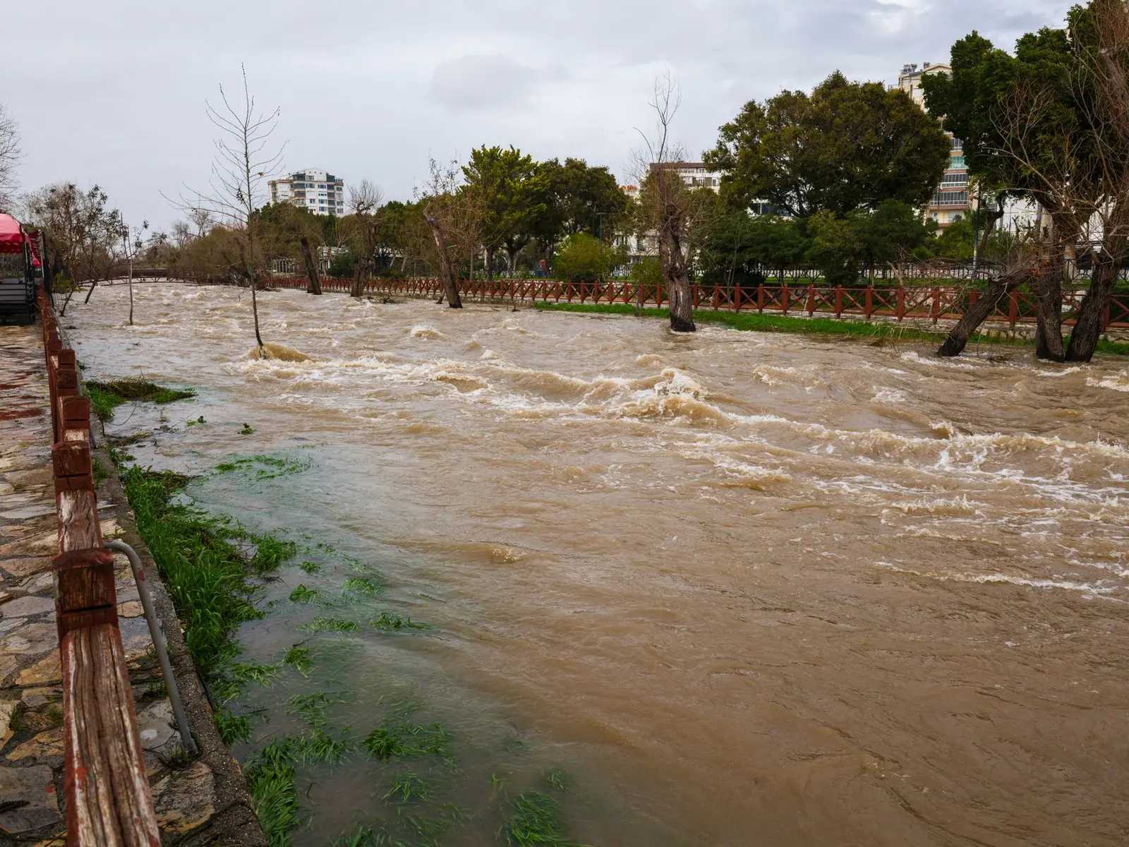
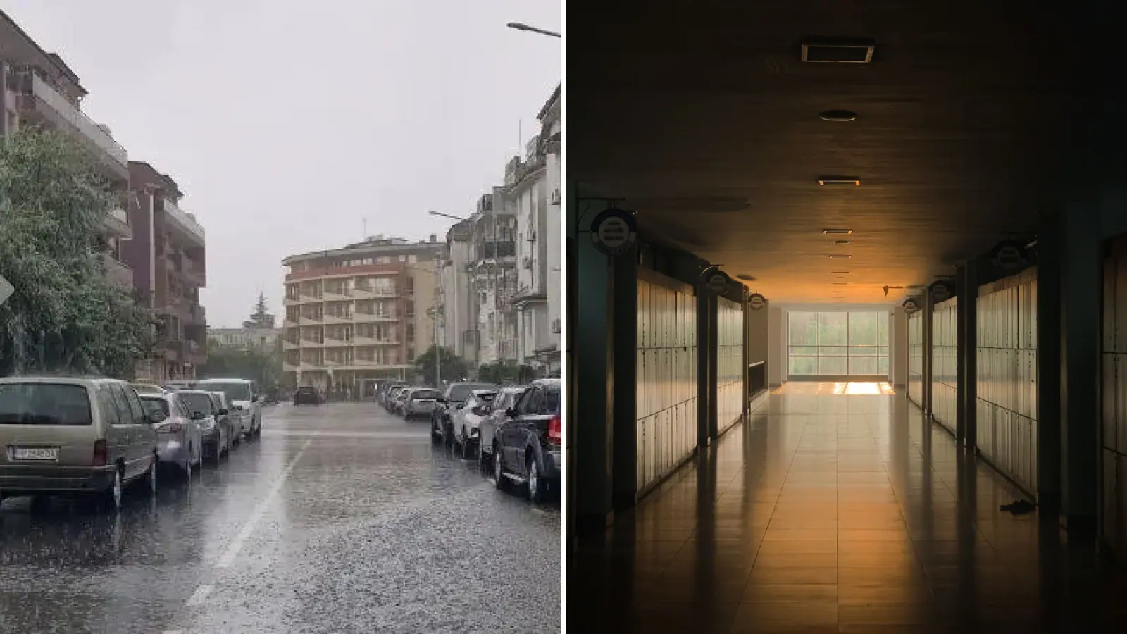
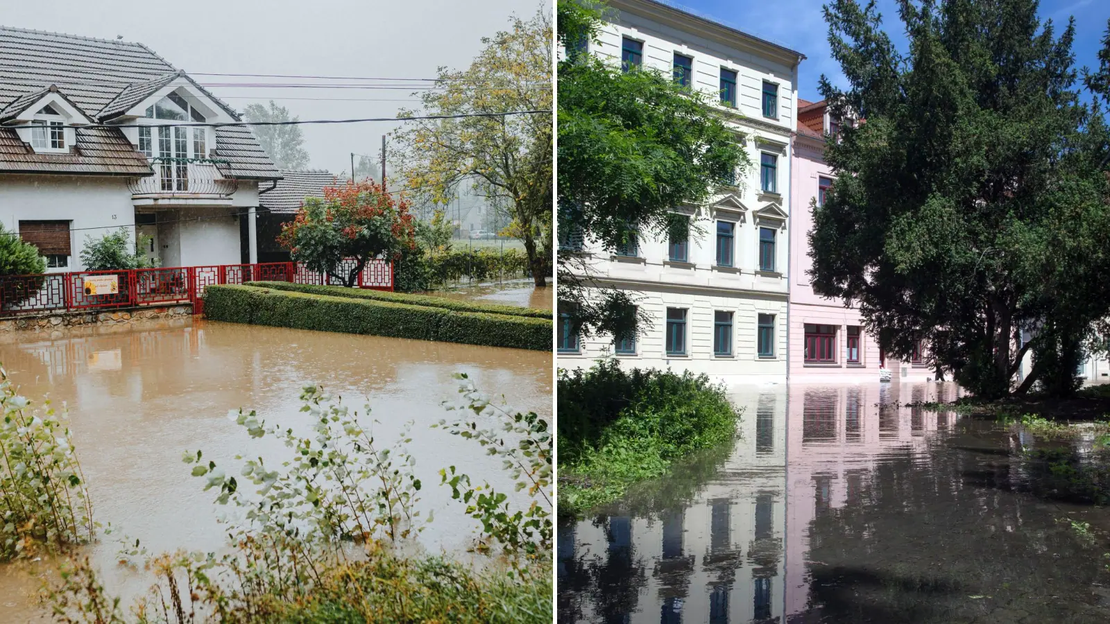
With that much rain, small rivers could quickly burst their banks and streets could flood. The risk is highest in low-lying parts of towns and villages, in river valleys and where water drains away slowly.
The biggest danger, the forecasters say, is heavy rain falling repeatedly over the same areas. They link it to a likely cyclone over the Balkans. If it takes the right path, east and north-east winds will carry moist air from the Black Sea to the coast for a long time, bringing strong, lasting rain.
The rain could continue until 4 November.
The forecast is based on the model run from 00 UTC on 28 October and looks about 186 hours ahead, or around eight days. Over such a long period, uncertainty is high. A small shift in the cyclone's path could greatly change how much rain falls and where it is heaviest. The speed of the system, how long the moist air keeps flowing and how the rain zones are spread will decide this.
The meteorologists point to the floods in Istanbul in October, when heavy rain hit some districts. They say this shows how fast things can get worse when a lot of rain falls in a short time. The scenario does not mean such a disaster will necessarily strike the Bulgarian coast.
Tsarevo and the Strandzha area were badly hit by floods in recent years. Water damaged roads, bridges, houses and tourist sites.
Weeks ago, Tsarevo mayor Marin Kirov asked for money for preventive measures on the Cherna river and to strengthen risky stretches. He warned: "Does a third disaster have to hit us before we get money for prevention?"
The next ECMWF runs, including the one at 12 UTC, will show whether the scenario holds, weakens or the rain zones shift.
Comments (0)
No comments yet.