
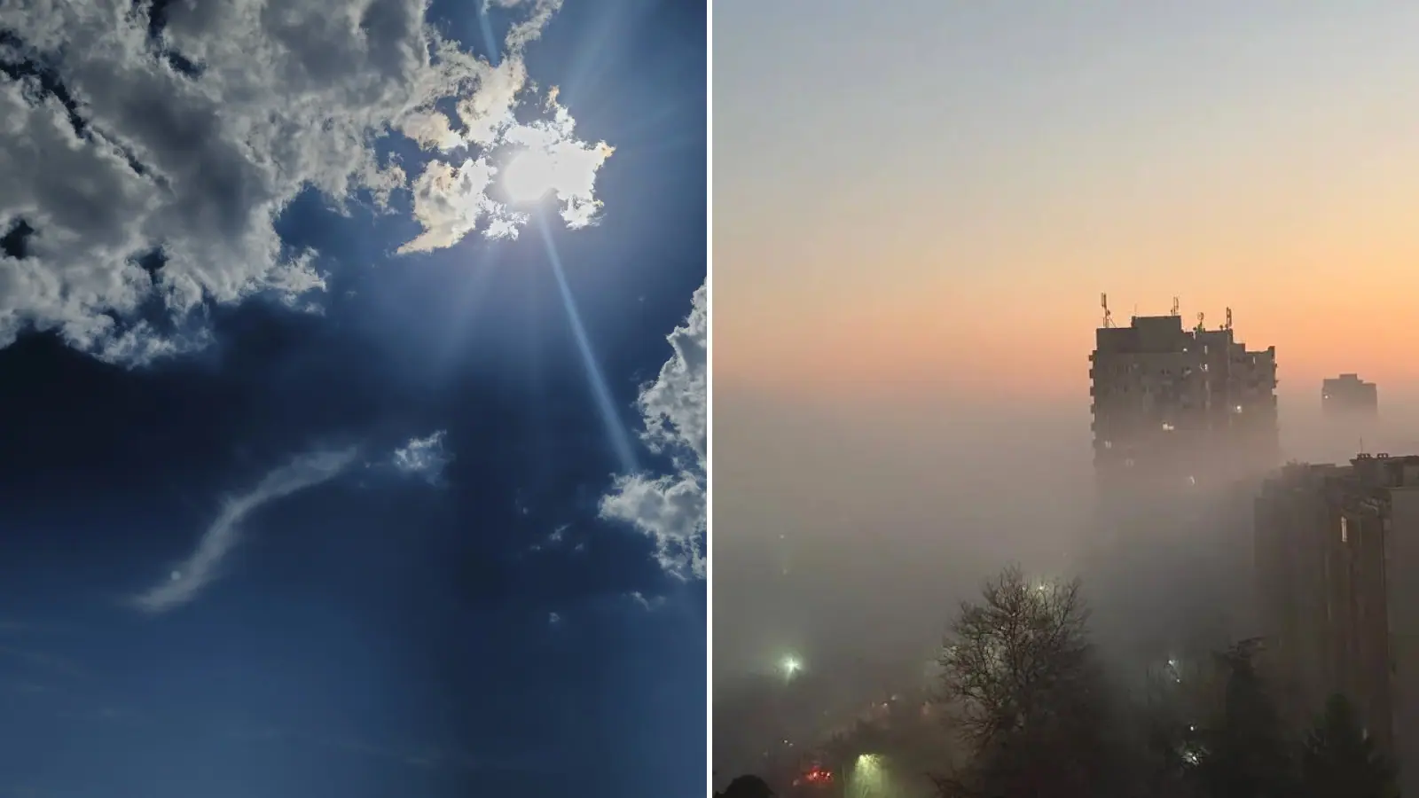
Friday will be an almost summer-like day in most of Bulgaria, with highs of 20C to 25C, according to the forecast. That is well above normal for mid-November, but the warm spell is temporary.
Tomorrow morning will be cloudy along the Black Sea coast. The clouds will break up after midday, and highs will be around 12C to 13C.
The warm weather comes from a large cyclone with several centres. It stretches east and will set the weather in Bulgaria over the next few days. Warmer air is moving towards the Balkans and Bulgaria from its leading edge.
Temperatures tomorrow afternoon will differ widely: just 4C in northeastern Bulgaria, but up to 15C in places in the south. Sofia will see about 12C, compared with almost 10C today.
Skies tomorrow will be partly cloudy, with thicker cloud before midday. Light showers will still fall in places then, with light wind. Over the next few days it will often be cloudy, with morning fog in lowlands, valleys and near bodies of water.
Tomorrow, levels of fine dust in the air will stay elevated but below the permitted limits. These are the areas with the most stubborn fog lately: the western half of the Danube Plain, the Sofia area and the Upper Thracian Plain. On the pollution map they are in green and yellow zones.
The mountains will be windy, with a moderate south-westerly wind, and mostly cloudy. Light rain will fall only in the first half of the day, mainly in the central Balkan Mountains.
In the Balkans tomorrow, light rain is expected in the east, while the west coast of the peninsula will get heavier rain and wind. Heavy downpours are expected in Europe over the British Isles, France and the Pyrenees, and later in the day over central Europe and the Apennines.
Friday will bring more sun, but rain will start later in the day, first in southern Bulgaria. On Saturday rain will reach many areas, and temperatures will fall by about 10 degrees.

Comments (0)
No comments yet.