
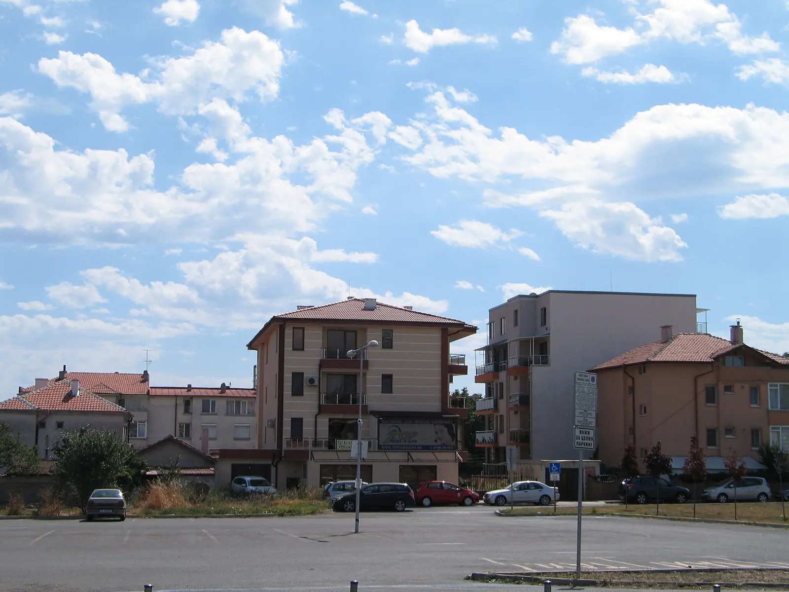
Burgas council wants the state to hand over a 1,706 sq m plot in the Pod Shoseto area free of charge, so it can build a street on it.
Councillors backed a proposal from mayor Dimitar Nikolov at a meeting on 27 October 2026. The request to the Council of Ministers will go through the Burgas regional governor. The mayor has been tasked with all legal and practical steps to carry out the decision.
The state owns the plot now. In the cadastral map and registers of Burgas, its project identifier is 07079.2.3075. It was split from part of the former plot 07079.2.1747, which covers 12,235 sq m in total.
The new plot borders 07079.2.1758, 07079.2.1750, 07079.2.3356, 07079.2.1757 and 07079.2.4369. The data comes from sketch project No. 15-1076125/21.07.2026, issued by the Geodesy, Cartography and Cadastre Agency.
The land lies in a built-up area, and its permanent use is for a secondary street.
The council relies on the detailed street layout plan (PUP-PUR) now in force, which it approved in Decision No. 43-7 of 26 June 2018.

Comments (0)
No comments yet.