
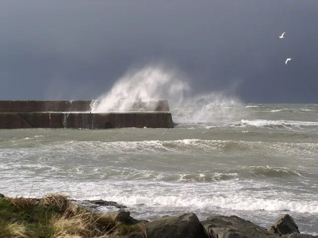
A very deep storm with winds of 130 to 150 km/h will hit western Europe in the second half of the week, with Britain and France first in its path, weather forecasts show. A second dangerous storm is expected at the weekend, with winds well above 100 km/h. Both will bring heavy, long-lasting rain.
The first storm leaves the Atlantic on Thursday and reaches the British coast that evening. Current forecasts say the wind will hit overnight into Friday. The storm will be strongest early on Friday morning and before noon, and the wind should ease overnight into Saturday.
The worst will be in south-west Britain and north-west France. Gusts along the coast there could reach 150 km/h, which is hurricane force. Pressure at the centre of the storm is below 975 hectopascals.
Winds will be weaker inland in France, mainly in the north and centre, and in Ireland and the rest of Britain. They will blow at 80 to 90 km/h, and up to 100 km/h in places. That includes Paris, London and Dublin. Forecasts say even winds like these can cause damage.
From Britain the storm moves on to the Netherlands and Belgium, where winds will reach 100 km/h in places by the weekend.
The hurricane-force wind could halt transport, uproot trees and damage roofs and the power grid.
Both storms will bring rain that will last a long time. Across most of Britain, 50 to 100 mm will fall over a few days, which is 50 to 100 litres per square metre. Floods are possible.





Comments (0)
No comments yet.