
The Road Infrastructure Agency (API) has presented a new online map, traffic.api.bg, that shows all roadworks, restrictions and major events on Bulgaria's national roads. It was shown today at the World GIS Day forum in Sofia.
More than 900 experts came to the forum. Leading Bulgarian and foreign speakers showed new uses of geospatial technology and how they are applied.
On 10 November Esri Bulgaria announced the conference programme, which, besides transport data, included a GIS platform on health inequalities and a digital twin of Sofia's Sredets district.
Alexander Penkov, head of API's Situation Centre and one of the project's main leaders, presented the system. It is an integrated geographic information system and has been running since the end of October 2026. Its data is published on the National Access Point in a machine-readable format that computers can process. Any provider of navigation services can take the data from there and pass it on to its users.
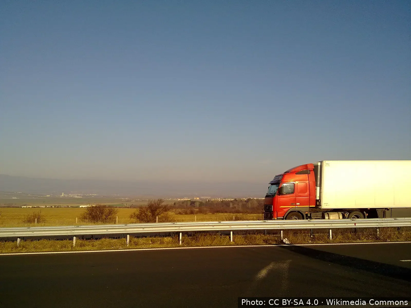
Lorries have their own section. It shows restrictions on freight traffic and is meant for heavy goods vehicle drivers and for transport and logistics firms. The topic matters because more lorries raise the risks, and accidents on national roads are becoming more frequent.



Comments (1)
traffic.api.bg? това сайт ли е или нещо друго?