
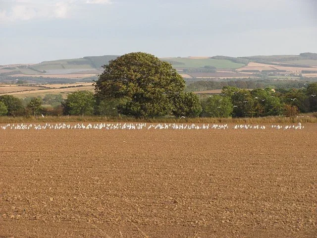
A New Stage in the Digitalization of Agricultural Land
The Ministry of Agriculture and Food has announced the start of a large-scale aerial surveying project aimed at updating data in the Land Parcel Identification System (LPIS). The process is part of a new contract to update the country's digital orthophoto map (DOP).
The project envisions the phased surveying of the entire territory of Bulgaria over a period of three years – up to and including 2028.
What does the 2026 campaign include?
In 2026, surveying begins as early as this week, weather permitting. The process will cover the following regions:
- Southwestern Bulgaria: Kyustendil, Pernik, Sofia-city, and Sofia Province;
- Northern and Central Bulgaria: Montana, Vratsa, Pleven, Veliko Tarnovo, Lovech, Gabrovo;
- Southern Bulgaria: Pazardzhik, Plovdiv, Stara Zagora, Sliven, and Yambol.
High technologies for precise data
The surveying is carried out by two specialized aircraft equipped with high-tech digital cameras. The obtained data will be integrated into the LPIS, along with the results of ongoing field inspections, to ensure maximum accuracy in the distribution of agricultural areas.


Comments (9)
абе, наистина ли ще е толкова дълго? какво им трабва толкова време за тая работа? не може ли по-бързо да стане? 🤔 😁
Ааа, до 2028... я някаква сигурна работа ли е? Дано поне изкара нещо
Хм... четох си новината, викам си аз. Пет години… абе хора, наистина ли? Не е за смях. Да, разбирам, че работата е мащабна, цялата държава да я снимат отгоре. И не казвам, че трябва да я свършат за месец де, ама... пет години
Абе, сериозно ли? До 2028?! Пет годни да снимат тая държава отгоре? Какво точно ще правят, баце? Не е ясно какво ново ще измислят след пет години... Ама иначе все говореха за диги
Абе, сериозно ли е това с 2028? Пет годни! Не искам да съм песимист, наистина искам да стане нщо полезно за земеделието ни. Надявам се поне технологиите да са ок и да